%20(1).png)
Hiking - Little Cottonwood Traverse, Little Cottonwood Cyn 8/5/25
- Emily Hacken

- Aug 28, 2025
- 2 min read

Sample Itinerary -
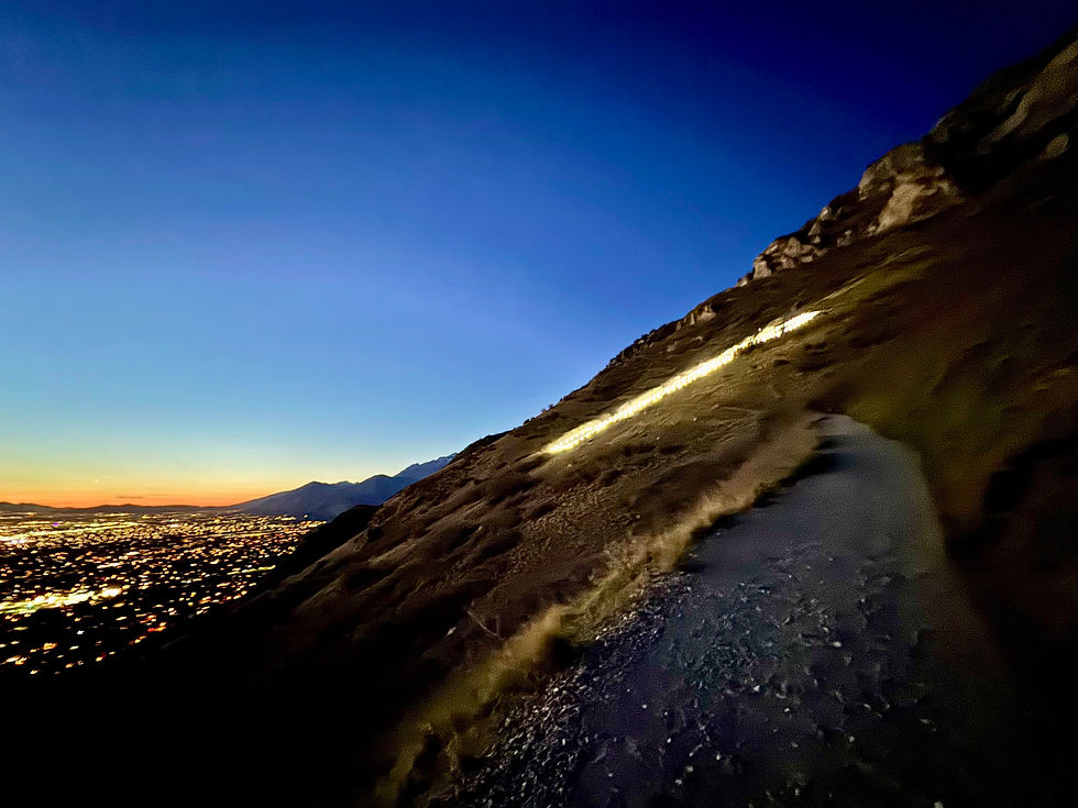
Carpooling - 6 am
Trailhead - 7 am
Hike 2 cottonwood cyn peaks
Back to Trailhead - 6pm
Directions - Trailhead, Little Cottonwood Cyn
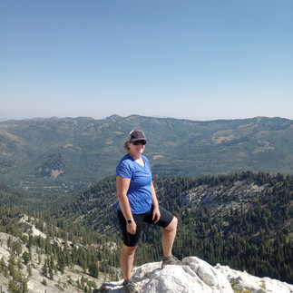
Activity - Little Cottonwood Traverse/ Flagstaff and Davenport Peaks/ Prince of Whales/ Honeycombs Cliffs loop All Trails Link Hiking: 7.5 miles strenuous to the ridge and then it is a moderate trail - plan on hiking for 6-7 hours
Flagstaff Peak: Elevation 10,545’
To The Summit (1.9 miles / about 2000’ of gain / 2 hours)
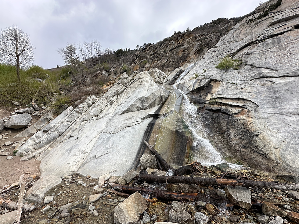
Start up the Michigan City road through the neighborhood. From the trailhead, follow the road north and east as it climbs up through a small neighborhood. At the third switchback is trail junction. Right goes toward Grizzly Gulch. Go left toward Cardiff Pass as the trail steepens. About 4 switchbacks after the first junction is a second less defined junction with an old mining road leaving on the right. Take this less road as it climbs and zig zags up to an old mine tailing pile. The road ends here at the mine. The path? Straight up the grassy steep slope! Work up the slope, trending a bit west to the obvious low point on the ridge. We used hiking poles to dig into the ground. There is not a trail for the steepest part. It is just straight up.Once you reach the ridge, a good social trail heads east (right) up to Flagstaff Mountain. The USGS maps mark the top as near where the trail reaches the top. The highest peak, however, is the peak north of the ridge. A lesser used social trail goes down on the east side around a rock outcropping, then continues to the true summit. (for the purists!)
Ridge to Davenport Hill: Elevation 10,092’ to Prince of Wales Mine (1.9 miles / 1 hour)
If making the ridge run, head east from the peak along the well-defined social trail. It meanders around Days Fork, and both forks of Silver Fork before reaching Davenport Hill. There are a few social trails leaving the ridge, stay on the most used trail near the ridgeline. It is never away from the ridge for more than a few minutes.From Davenport Hill continue on the Flagstaff Mountain Trail to Prince of Wales Mine Trail.From there we will head to the Honeycomb Cliffs (10,489’), then back on the Prince of Wales Mine Trail to the Twin Lakes Pass trail, and then back to the Michigan City Road. This will take us back to the cars
Gear - Thin liner pants, long sleeve shirt, pants, T-shirt, fleece, light down jacket, waterproof jacket, light gloves, daypack with waistbelt, 3 L water, 8-12 snacks, sunglasses, baseball hat and winter hat, running shoes/hiking boots, first aid kit, headlamp with extra batteries, trekking poles
Note about trekking poles: Required/Strongly Recommended. This route is steep and demanding — more so than the steepness of the Y hike. Multiple hikers have said poles were a huge help, and they are considered essential for managing the incline safely. Please bring hiking poles even if you’re very experienced on steep terrain without them.
Rental -
Trekking poles ($5 BYU)


Comments